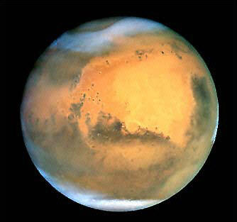
This image captured by NASA's Earth-orbiting Hubble Space Telescope shows Mars when it was approximately 43 million miles (68 million km) from Earth. A first-ever high-resolution map of Mars' entire magnetic field provides new evidence that Earth-like plate tectonics - great crustal plates pulling apart and crashing together - underpin the Red Planet's surface geology, US space agency NASA said.(AFP/NASA/File)
No comments:
Post a Comment